The PistenBully the no. 1 in the field of ski slope care worldwide can now also be equipped with the innovative GPS+ technology by Topcon.
This system safeguards an efficient use of the PistenBully snowcats and snow-making machines. In this process, the Topcon GPS+ technology uses the signals of the American and Russian satellite system for determining its position.
Since the system is already favoured by satisfied customers we are not promising anything the system cannot do.
The advantages at a glance!
The more precisely you survey the area during the summer, the better and the more precisely you can do the following during the winter season:
Prepare the slopes even at night and in snowfall.
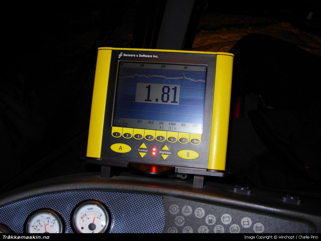
Read off the height of the snow on the screen.
Determine the required cover of artificial snow.
Document the slopes worked on.
Move the mass of snow without any losses.
Use the snow-making equipment optimally.
The random application of artificial snow and moving to and fro of snow using the PistenBully is reduced to a minimum.
Think economically!
These components of the Topcon PGS+ system for PistenBully snowcats make the use of machinery on the premises more efficient.
FC-200 hand receiver
GX-60 control box
Radio aerial
PGS base station
Pocket 3D software
Optimise the processes in your skiing area!
All the relevant geo-data, such as plots of land, snow-making equipment, edges of slopes, cables and much more, is displayed in a geo-referenced aerial view in the ARENA operating information system.
This complete tool for documentation and analysis by PowerGIS makes planning and administration much faster and easier for cable-car operators.
A communication unit installed on the PistenBully records all the data gathered with the help of the GPS+ technology by Topcon and forwards it to the ARENA operating information system.
This enables the depth of the snow to be displayed on the slope areas in the geo-referenced plan.
You can traverse snow coverage with cm accuracy using GPS+, and snow can be produced with targeted precision. The enormous costs of snowmaking can thus be reduced considerably.
Use the advantages which ARENA and GPS+ provide!
Documentation and provision of information
Analysis and planning
Visualization and presentation
The use of ARENA safeguards maximum operational safety, an economic use of natural resources as well as cost transparency and a cost reduction for cable-car companies.
A strong team
Kässbohrer, Topcon and PowerGIS form a strong team with regard to innovations and the best technological solutions possible. This close co-operation in equipping PistenBullys with GPS systems by Topcon and the connection to the ARENA operating information system by PowerGIS sets new standards in the working processes on the ski slope.
You can work more profitably by using this tried and tested satellite-supported technology on your PistenBully snowcat.
We will be happy to advise you!
Contact
PowerGIS Informationssysteme GmbH
Herr Robert Sölkner
Phone: +43 (0) 662 89 09 52
Fax: +43 (0) 662 89 09 52 50
robert@powergis.at
www.powergis.at | Kommentert av: Haraldur Tryggvason
Dato: 06.12.2008 20.07.55 |